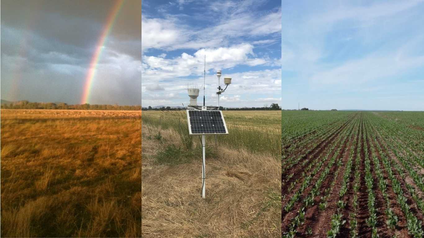
The Robust Weather Stations project aims to consolidate five existing weather station and moisture probe networks in southern Australia into a unified, standardized platform.
This initiative, managed by farming system groups, seeks to enhance disaster planning by providing localised climatic information on factors, such as fires and floods. In response to climate change, the project addresses higher temperatures, rapid fuel drying, and increased fire risk.
The network’s comprehensive data, including temperature, wind speed, humidity, and soil moisture, complements Bureau of Meteorology information, offering more localised insights for emergency services and communities. The initiative also addresses the rising risk of heavy rainfall events.
The standardised platform is expected to empower farmers, emergency services, and government entities to better prepare for disasters and climate change in Central and southern New South Wales and Victoria.
Project activities encompass an audit, data validation, implementing sharing agreements, standardisation, and a feasibility study, with the goal of fostering collaboration between government and private industry to overcome data-sharing barriers.
The project emphasises community awareness and utilisation of data for effective disaster management, aligning with the Disaster Risk Reduction Framework.